 |
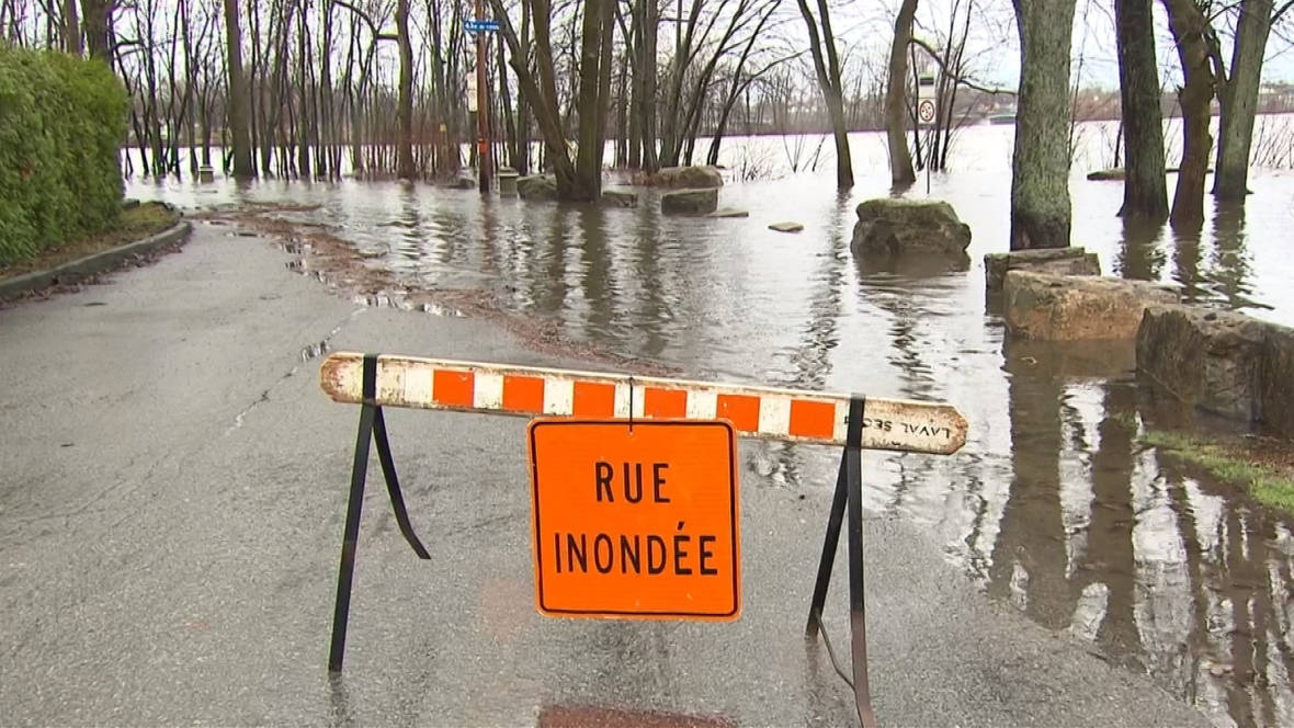
| Minor flooding was reported along the Milles-Iles River in Laval over the weekend. (Radio Canada) |
The miserably cold and wet month of April is finally drawing to a close today. Once the final data is digested, I think we will find that many parts of the country, including Montreal, had one of the coldest April's on record. As we move into May, the hope is warmer air will finally win over here in southern Quebec. First we have to deal with what should be a "normal" flood season, and at least at this point, nothing record breaking like 2017. Hydro Meteo has been monitoring the waterways across the province, and has issued flood watches for many regions. Locally, a flood watch in in effect for the Townships and Laval. While water levels are sharply rising, only minor flooding has been reported to date. Over the weekend, 25 to 50mm of rain was reported across the area. With the ground saturated from earlier precipitation and snowmelt, most of this will runoff directly into rivers and streams. Hydro Meteo issued an update at 6am Monday, reporting significant rises in rivers across the Beauce, Eastern Townships, Quebec City, Mauricie and Lanaudiere. They are reminding residents who live close to waterways or in flood prone areas to remain vigilant.
The upper level low that produced the rainy and cold weekend, will meander into New Hampshire today, and eventually Atlantic Canada by Tuesday. More showers can be expected in Montreal today, with a cool high of 10C (50F). On Tuesday, skies will slowly clear, followed by the warmest surge of air so far this season. Expect a high of 17C (63F) Tuesday, and up to 24C (75F) Wednesday. Unfortunately another frontal system will arrive on Thursday, with more showers and perhaps even the first round of thunderstorms this year. Rainfall amounts may be significant in southern Quebec, adding to the current flood concerns.
No comments:
Post a Comment